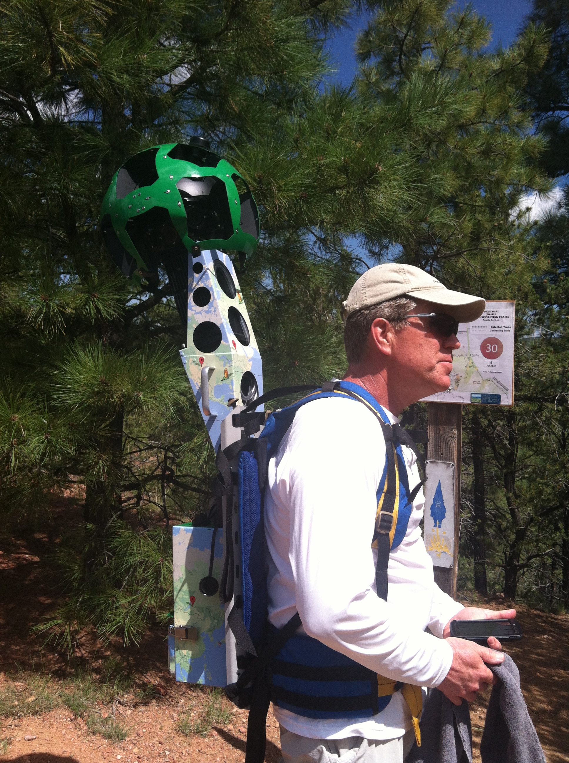
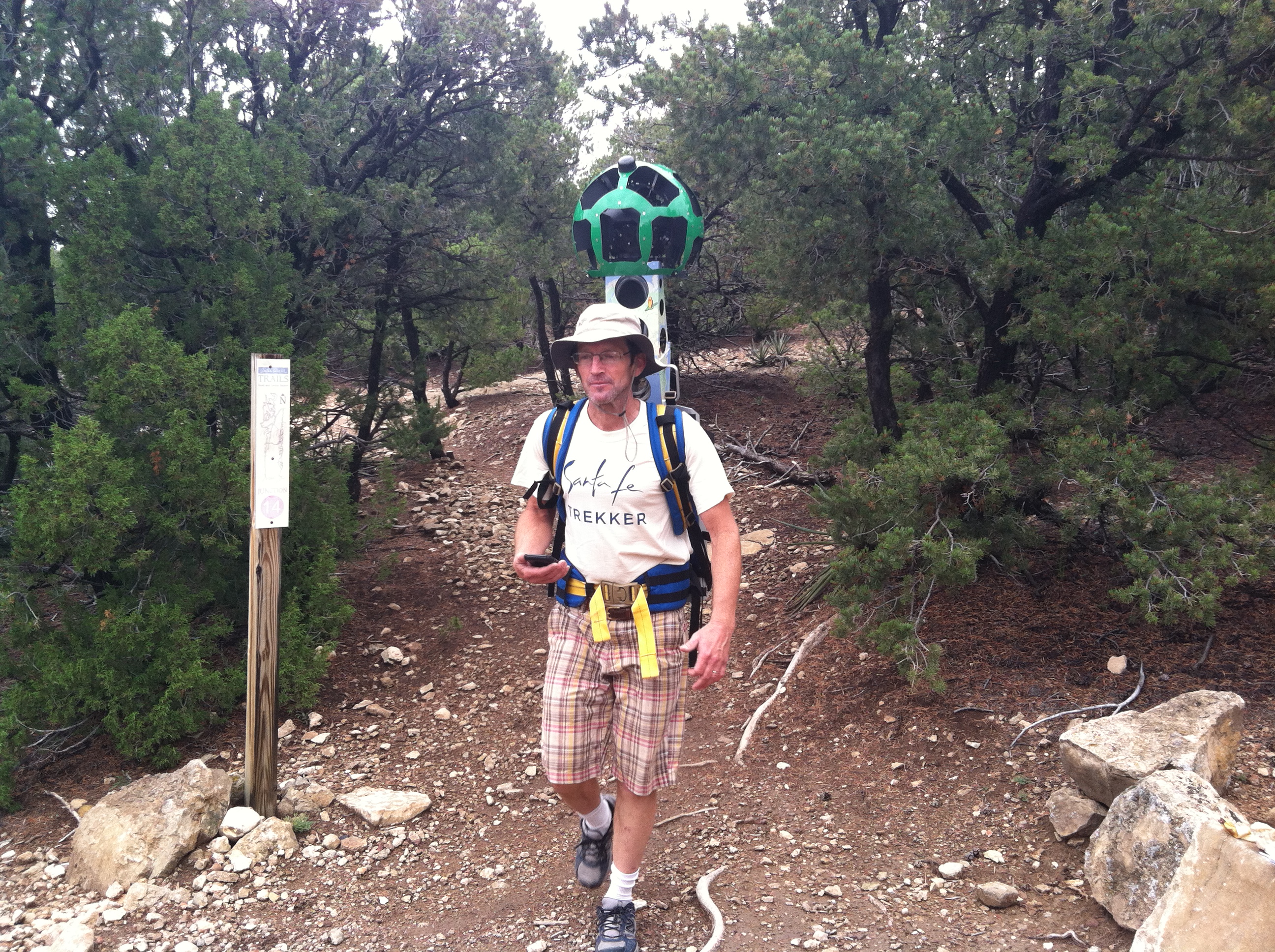
Mike EauClaire dons the 50-lb., 15-camera Google Trekker in the South Section of Dale Ball Trails.
At the request of the City’s tourism department, TOURISM Santa Fe, SFCT’s Trails Program Manager organized and programmed volunteers to hike area trails with the “Google Trekker” apparatus: a 50-lb. bundle of fifteen cameras, computer hardware, battery, and backpack controlled by a cellphone in the user’s hand. The product of the recordings will be a simulated walk along selected trails that should be available from Google in December 2015.

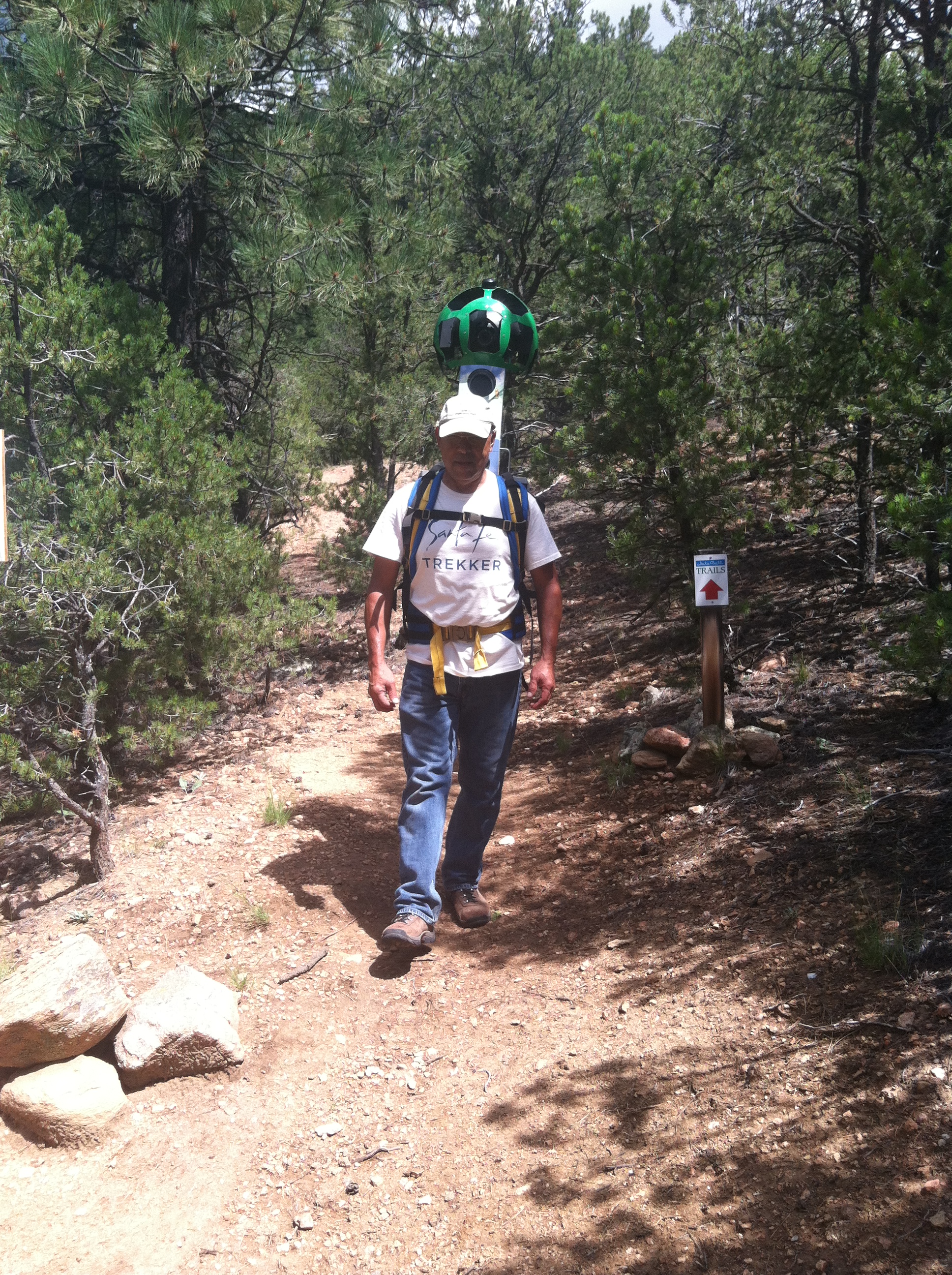
Manny Maes treks the Central Section of Dale Ball Trails.
Volunteers were hand-picked for “sturdiness.” Special thanks go to Manny Maes for making it to the opening training and organizational meeting and mapping the way forward from there. Also thanks go to City Parks staff members who helped out Google-trekking in the north and central sections of Dale Ball Trails. A complete list of participants recruited by Santa Fe Conservation Trust for this activity includes:
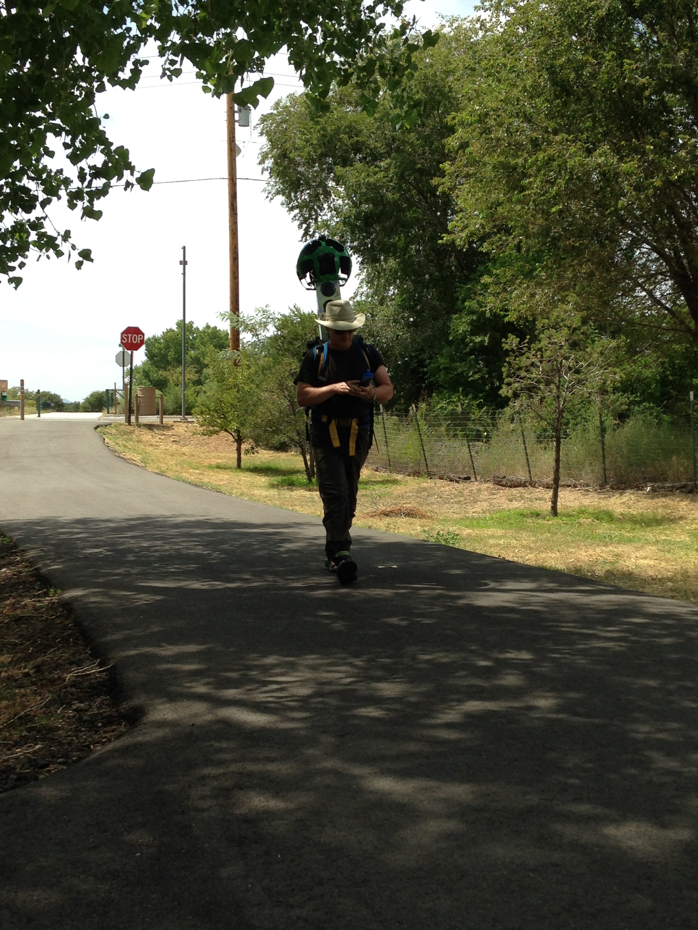
Paul Cooley of the City’s Bicycle and Trails Advisory Committee (BTAC) completes a leg of Google-trekking on the Arroyo de los Chamisos Urban Trail.
- Manny Maes
- Peter Prince
- Mike EauClaire
- Tim Rogers
- Charlie O’Leary
- Paul Cooley
- Peter Olson
Thanks also go to Steve Washburn of the Trails Alliance of Santa Fe, John Alejandro of the Mayor’s Office, and Charlie O’Leary of the Santa Fe Conservation Trust for providing rides to or from trailheads, making it possible to walk the Google Trekker one-way instead of having to back-track on urban trails.
We appreciate the assistance of TOURISM Santa Fe for arranging and preparing the Google Trekker for our use, including charging the batteries, cleaning off the lenses, and general trouble shooting when the Trekker would not cooperate. Particular thanks go to Blake Jackson, Frank Cordero, and Sonia DiaWe appreciate the assistance of TOURISM Santa Fe for arranging and preparing the Google Trekker for our use, including charging the batteries, cleaning off the lenses, and general trouble shooting when the Trekker would not cooperate. Particular thanks go to Blake Jackson, Frank Cordero, and Sonia Diaz.
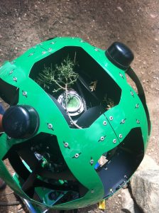
- The Trekker device extends another foot over the user’s head, enough to brush up against low branches in some locations where perhaps the trails could use some trimming.

Manny Maes walks the Google Trekker through some rugged terrain in Dale Ball Trails South.
SFCT Trails Program Manager Tim Rogers with the Google Trekker on his back, cell phone controller in hand, in Dale Ball Trails, Central Section.
By the time TOURISM Santa Fe returned the Trekker, after tacking on an extra week in August, SFCT staff and volunteers recruited by SFCT had completed Google Trekking the following trails and parks:
Dale Ball Trails: All city sections (N, C, and S) and some county sections
La Tierra Trails: A 5+ mile sampler including Flow Trail, Whoop-dee-doos, and Bike Skills Park
Urban Trails:
- River Trail with Alto Park, Frenchy’s Field, El Rio Rd. Trail connectors
- Acequia Trail with Ashbaugh Park, West Railyard, Maclovia Park, and Cielo Vista Park trails
- Rail Trail with South Capitol Station and short connector trails
- Arroyo de los Chamisos Trail with Nava Ade, Villa Linda Park, GCCC and SFHS connectors
- Tierra Contenta’s Arroyo de los Chamisos Trail with SWAN Park and connector to Jaguar Dr.
- St. Francis Dr. Trail, Gail Ryba Trail, and Zia Trail
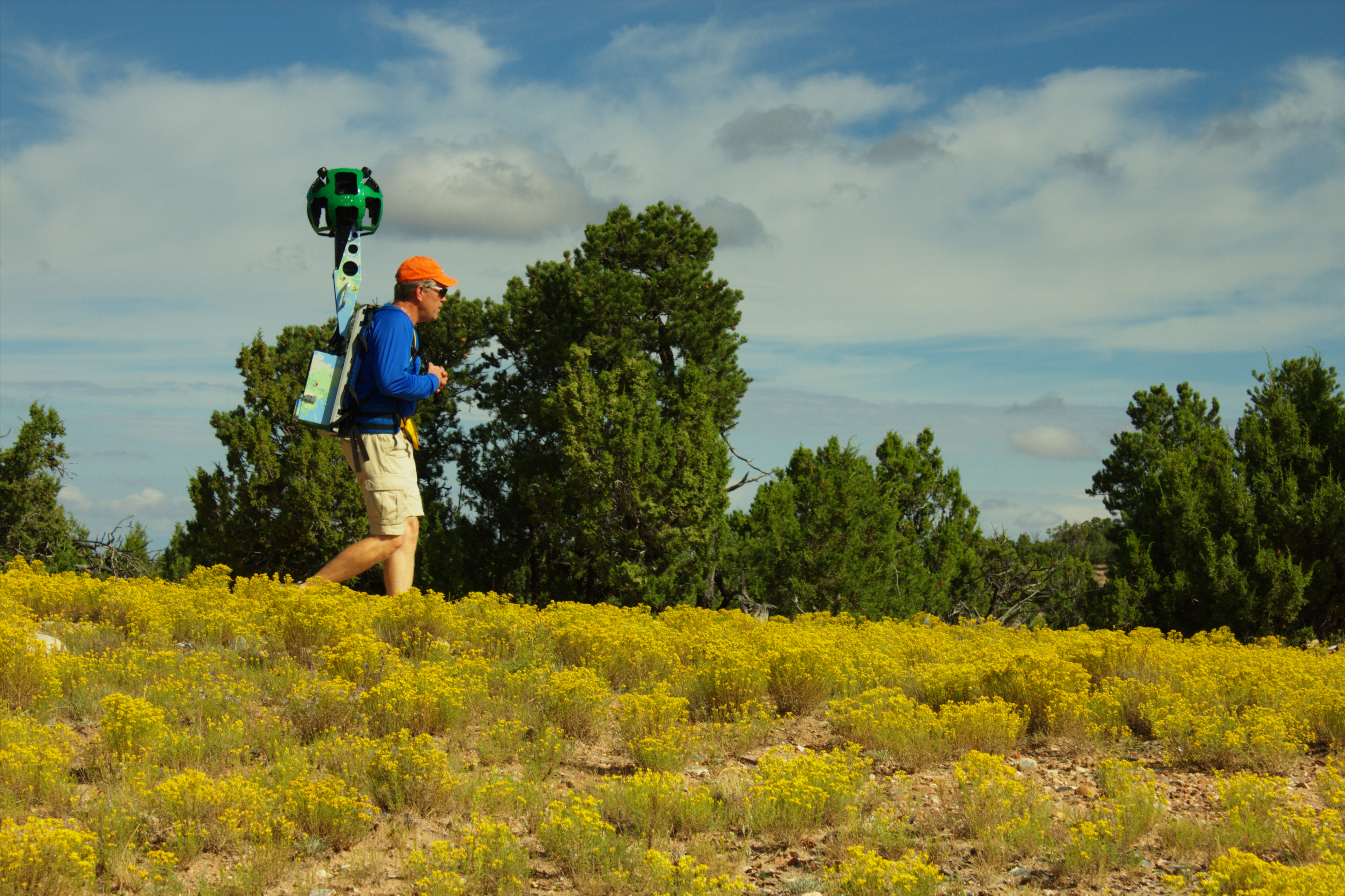
Mike EauClaire in La Tierra Trails (photo by Manny Maes)
The Trails Program Manager has also helped guide volunteers to TOURISM Santa Fe for some daunting work to Google-trek selected Santa Fe National Forest trails (Aspen Vista Trail and Winsor Trail) and County Trails (La Piedra Trail and Little Tesuque Trail). We will see the fruits of our labor when Google posts the Trekker recordings, which will resemble Google’s “Street View” for our trails, by the end of the year.
In addition to the promotional value identified by TOURISM Santa Fe, we look forward to using the Google Trekker footage as an assessment tool in the form of a 360-degree-view recording of our City trails at a given point in time. Thanks volunteers, for schlepping this thing around with me!