How to make the Acequia Trail underpass serve the Rail Trail: The very narrow and fenced-in continuation of Monterrey Dr.
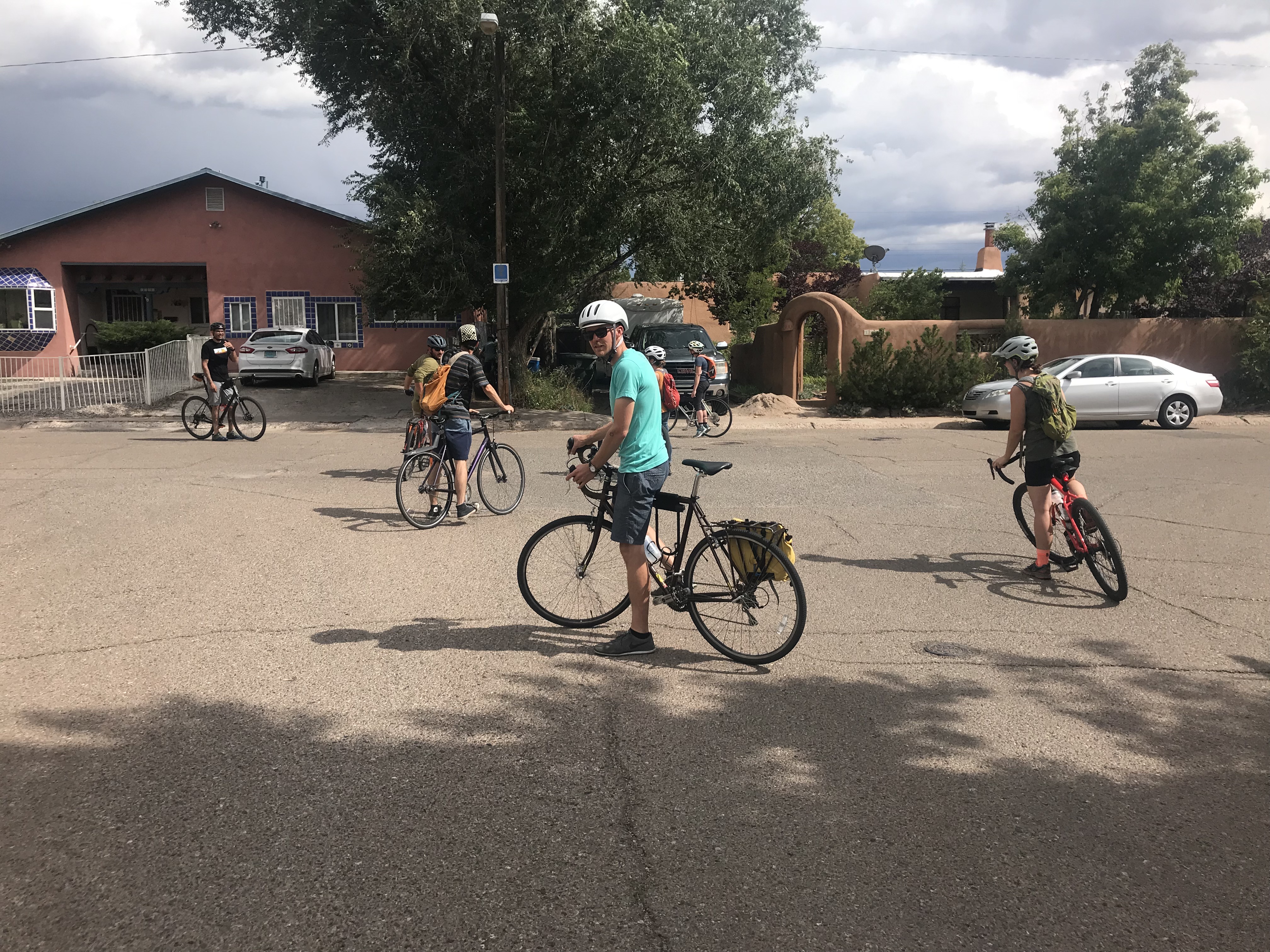
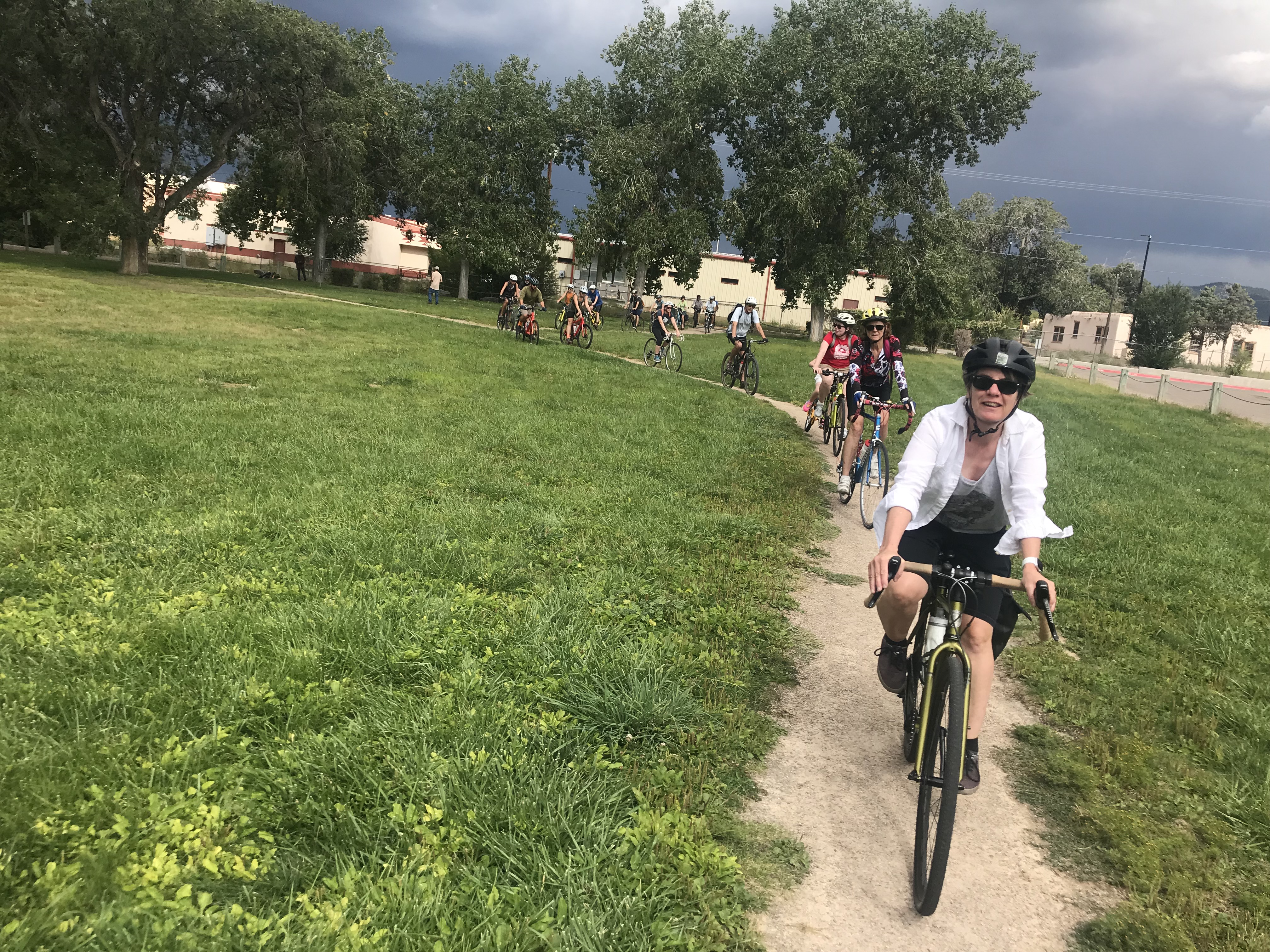
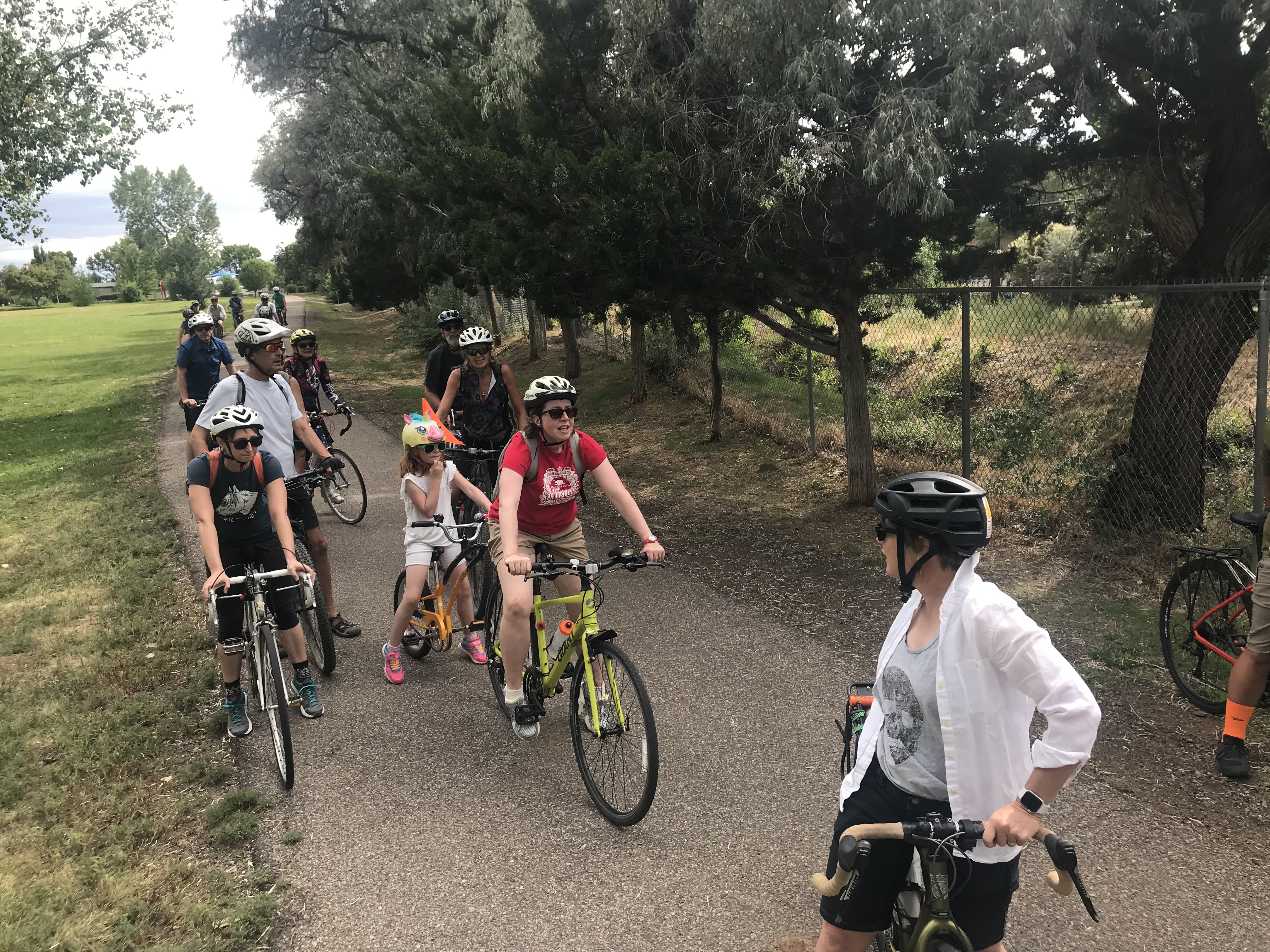
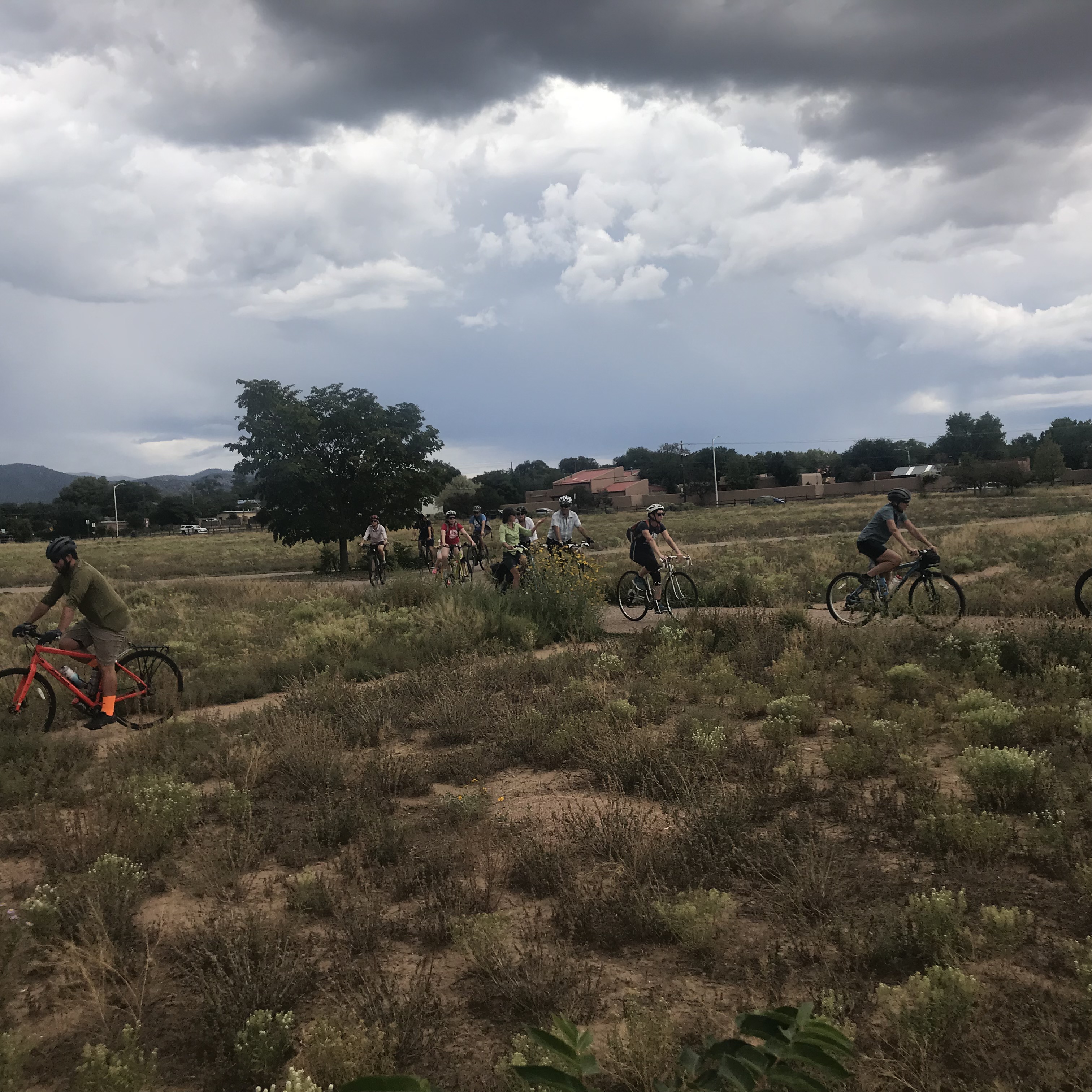
As part of the inaugural Santa Fe Mountain Fest (the heir to the New Mexico Bike and Brew festival), on Saturday, Sept. 14, SFCT’s Trails Program Manager took a group of eighteen cyclists around town looking for the “sweet spots” that make urban riding in Santa Fe fun.
Ashbaugh Park along with 2nd St. makes for a nearly straight shot back to the Acequia Trail from the Rail Trail
Using a map designed after the Pac-Man video game (below), the cruise devoured strawberries (car-free short cuts), bananas (funky trails), and cherries (trail and bikeway nodes) along and between the Acequia Trail, Rail Trail, and River Trail, before bee-lining it back to the Railyard Park due to impending rain.
The back of Ashbaugh Park is a node where the north-south route meets an important east-west route – the Acequia Trail
The Pac Man-themed map, featuring a variety of fruit superimposed on the Santa Fe Metropolitan Bikeways and Trails Map, remains available for anyone to use to seek out more sweet spots.
Frenchy’s Field is served by another “cherry” along the Acequia Trail – the bridge form Otowi Dr. to Camino de Chelly
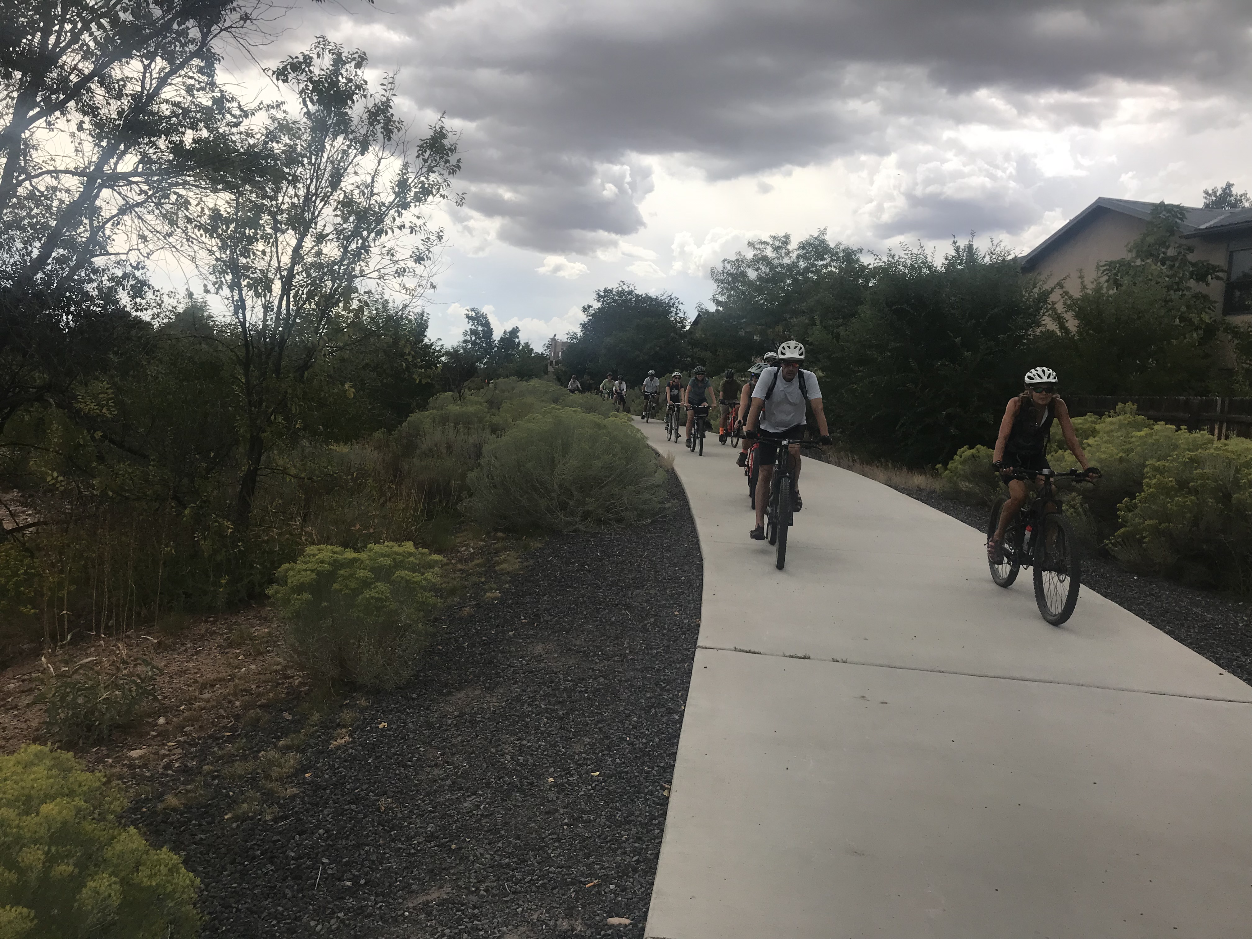
Bringing it home on the River Trail

Click on map for larger .jpg file, or use pdf